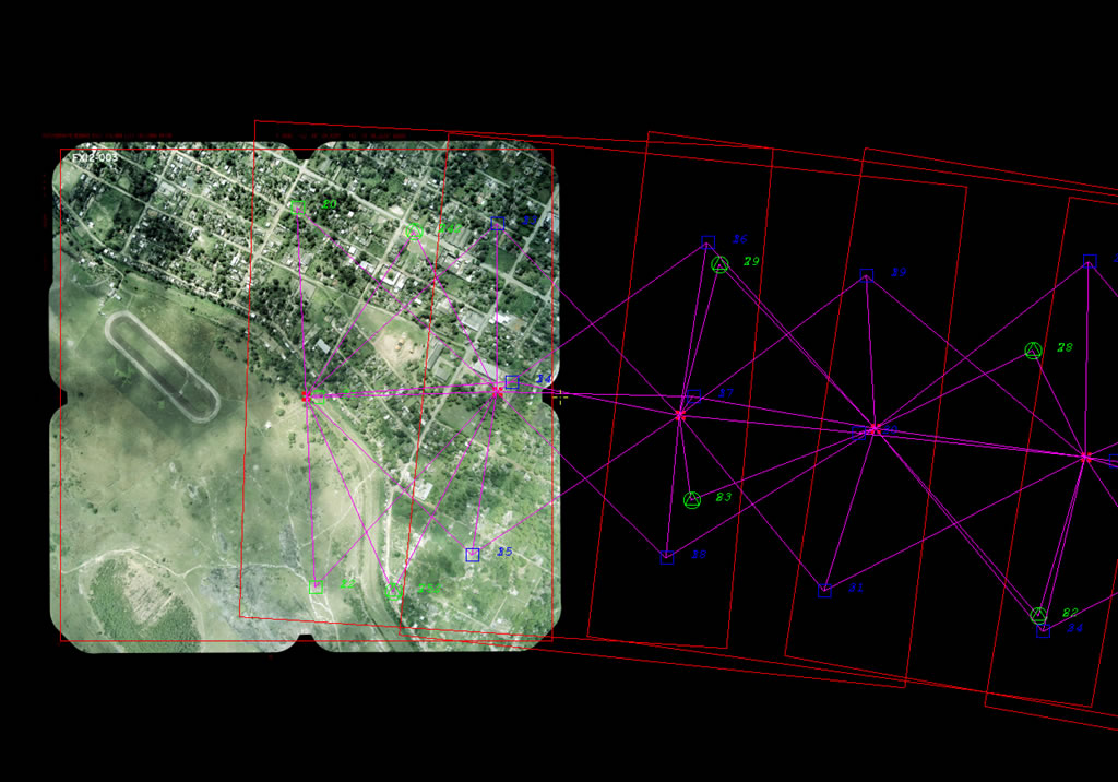
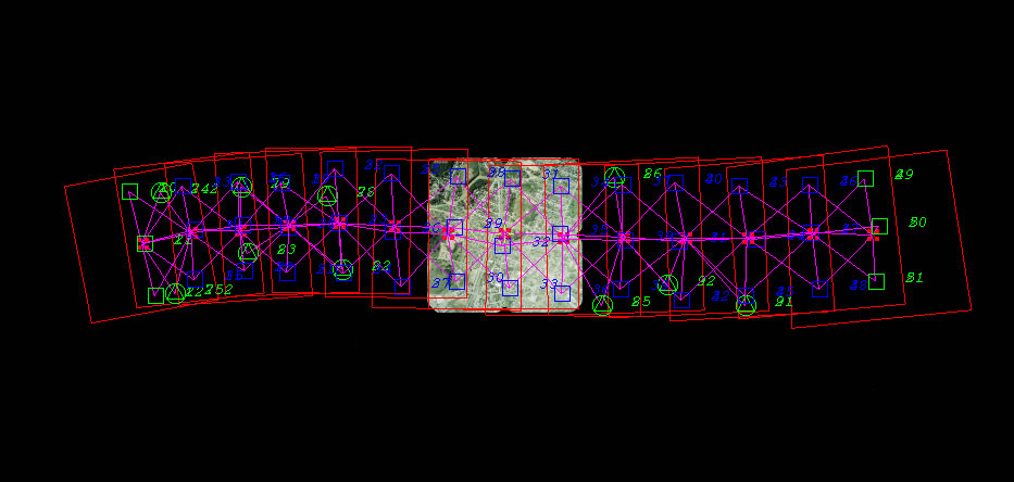
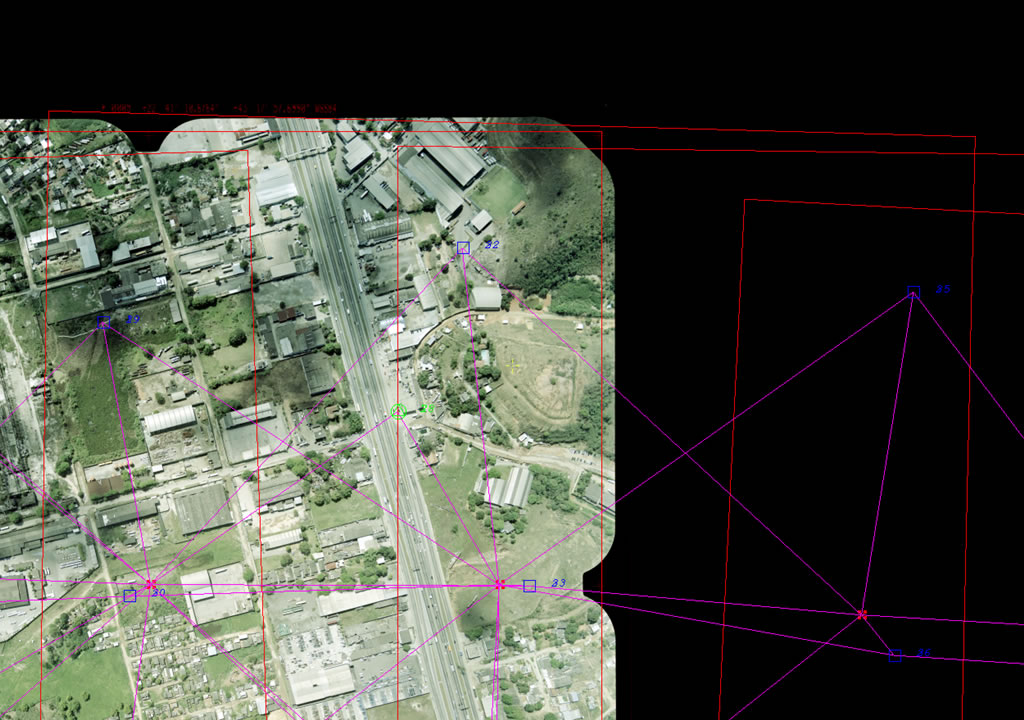
Aerial triangulation is a technique to determine and calculate 3-dimensional object coordinates by photogrammetric directly from stereoscopic photographs. It represents an essential step for generating GIS databases, determining the spatial positioning of elements (lot, block, house, etc.) at the base. The aerial triangulation serves to obtain a sufficient number of checkpoints in a given area and is indispensable for the calculation of the absolute orientation in stereo models.
The calculation of the absolute orientation requires at least three control points – points in the photos with known plani-altimetric coordinates. Without the implementation of aerial triangulation, the models would only be fixed with the points raised in the field, being supported pair-to-pair. The inclusion of aerial triangulation points are systematically determined photogrammetric points in all models, replacing mostly all of the field points. Thus, the aerotriangulation is able to reduce significantly the amount field work, resulting in a significant time and cost reduction of surveys.
 |
 |
 |


© 2017 Fototerra Aerial Survey LLC

