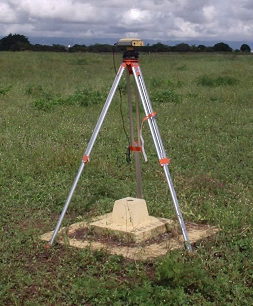
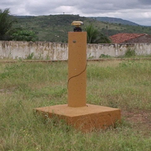
Topography is the science that studies tehe surface shape and features of the earth in a given area and is important for the definition of area measurements, location, parcels, altitude variations and scaling of landscapes.
The term topograqphy applies only to relatively small areas, for larger areas is used the term geodesy. For that issue are ued coordinates are used, which may be two distances and one elevation or one distance, one elevation and one direction.
 |
 |


© 2017 Fototerra Aerial Survey LLC

