Company operates with owned airplanes and flight licenses for mapping. The fleet consists in 03 PIPER Seneca II, T200 and 01 Cessna 206U, Embraer EMB-110 P1 Bandeirante all homologated and fully operational for LiDAR, Camera and HD AirFilm missions.
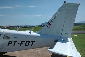
All airplanes are registers by ANAC (National Flight Agency) and Ministry of Defense. FotoTerra achieved with category ‘A’ the highest category for survey operations in national territory.
In the US the company hangar is located in Houston, TX with coordination support room and equipment storage.
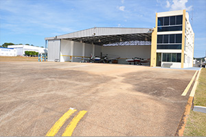
In Brazil the company hangar is located about 90Km from Sao Paulo, with an area of 2.000 m², coordination support room and equipment storage.
GULF COAST REGIONAL AIRPORT
Runway 18/36 Elevation 25'
7000' x 100' Paved w/Parallel Taxiways
FAA code : KLBX - Hours: H24
Type of Operation : Day / Night VFR / IFR
Altitude: 25ft
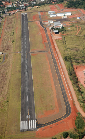
Bragança Paulista STATE AIRPORT Arthur Smith
hangar FOTOTERRA
Latitude: 22 58 ' 45' ' S - Longitude: 046º 32' 15 ' ' W
ICAO statement : SBBP - Hours: H24
Track code : 1 - Type of Operation : Day / Night VFR VFR
Altitude: 880m / 2,887 feet - Equity Area ( ha): 41.6
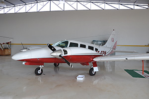
Manufacturer: Embraer - Model: Seneca II
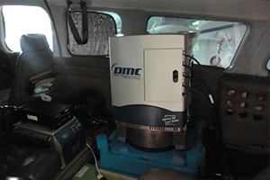
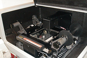
Equipment : Camera DMC Aerea , manufacturer : ZI Germany
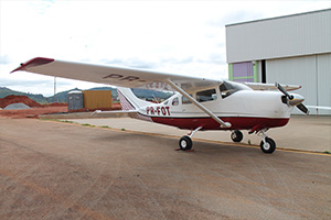
Manufacturer Cessna – Model 2016
Equipment : Dealing Full Wave
Manufacturer: Trimble

Embraer Model: Seneca II
Equipment : Spectir - VS1 Hyperspectral
Manufacturer: SPECIM

Manufacturer: Piper Model: Seneca II
Equipment : Multiplatform
Operational Team and Mechanics
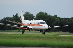
Embraer Model: EMB110-P1 POSEIDON
Equipment: Optimare Gmbh Medusa – Maritime Surveillance – Oil Pollution Control
Manufacturer: Optimare Gnbh
More Photos


© 2017 Fototerra Aerial Survey LLC

